News
New Session on Earth Observation for Disaster Risk Reduction in a Multi-(Hazard-)Risk Context at EGU 2025
31/10/2024
EO4Multihazards in the EGU 2024: Participation and 1st Workshop
29/04/2024
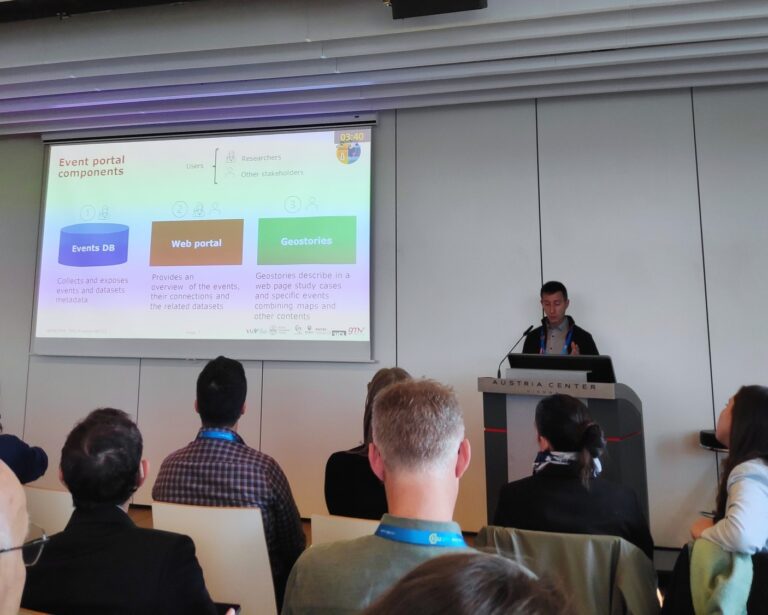
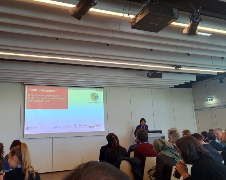
GMV, BGS, Vrije Universiteit Amsterdam (VUA) and Eurac participated in the past #EGU2024 presenting our activities in EO4Multihazards.
Carlos Domenech from GMV (in collaboration with Èlia Cantoni i Gomez, Philip Ward, Nicole van Maanen, Stefano Terzi, Roxana Ciurean, Gianluca Pescaroli, Irene Manzella, Silvia Torresan, Claudia Vitolo, and the EO4Multihazards Team) presented the Role of Earth Observation in multi-(hazard-)risk assessment and management in the session for Multi-hazard risk assessments: Innovative approaches for disaster risk reduction, management, and climate change adaptation. The goal of this presentation was to reflect on the collective objectives of the project and discuss its implementation. Eurac’s technologist Andrea Vianello joined the same session to present afterwards The EO4MULTIHA open Multi-Hazard events database showing the on-going developments of an open database gathering and harmonizing event information coming from already existing event databases to support multi-(hazard)-risk research.
Luke Bateson from BGS showed The role of Earth Observation in advancing our understanding of high sustained temperature leading to dry conditions compound events: the UK Science Case in the EGU’s session for Tools and challenges in assessing compounding and multi-hazard risk in the evolving technological landscape. In this presentation, Luke briefly introduced the research context, questions, methodological approaches, preliminary results, and future direction of the UK Science Case. In the same session, Philip Ward from VUA presented a poster to interact with the EGU community on multi-(hazard)-risks and collect feedback on how Earth observation data can contribute to improving our understanding of multi-hazard events and multi-risk impacts.
In the Splinter Meetings within the EGU2024, the EO4Multihazards team organised an open workshop on the Role of Earth Observation in Multi-(Hazard-)Risk. The convener, Nicole van Maanen from VUA, proposed a panel discussion and breakout group discussion to discuss the research questions of the EO4Multihazards project:
- What role do EO technologies, methods, data, and tools play in advancing our understanding of multi-(hazard-)risk (scenarios)?
- What specific EO products are currently absent or needed to enhance our understanding of hot and dry multi-(hazard-)risks across diverse spatial and temporal scales?
- What methods are necessary to integrate EO products with (in-situ) data and advance our understanding of multi-(hazard-)risk?
First EO4Multihazards science meeting
15/01/2024
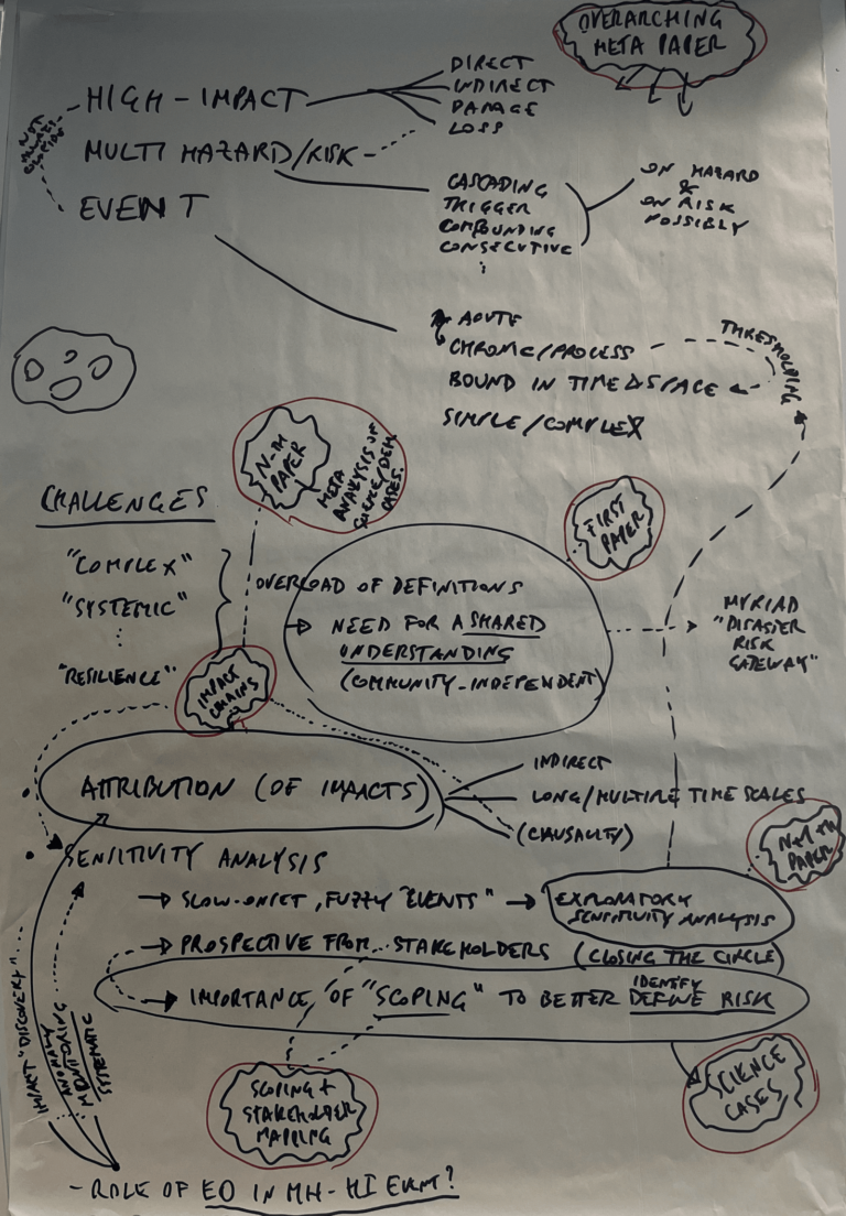
Over the course of two days, participants engaged in focused discussions and updates on various work packages and science cases. Highlights included updates on scientific requirements consolidation, multi-hazard event database development, and advancements in understanding multi-hazards.
During the science meeting in Amsterdam (January 2024), the following three main research questions were identified by the consortium in this project:
- What role do Earth Observation (EO) technologies, methods, data, and tools play in advancing our understanding of multi-(hazard-)risk (scenarios)?
- What specific EO products are currently absent or needed to enhance our understanding of hot and dry multi-(hazard-)risks across diverse spatial and temporal scales?
- What methods are necessary to integrate EO products (with in-situ) data and advance our understanding of multi-(hazard-)risk?
EC-ESA JOINT EARTH SYSTEM SCIENCE INITIATIVE 2023 workshop
11/12/2023
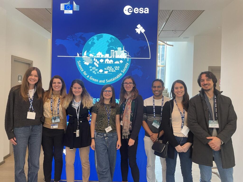
The team presented a poster (GMV) and a keynote presentation (VU) on EO4Multihazards in the session for Earth Observation for Multi-Hazards and Compound Events in the Climate adaptation – Extremes, multi-hazards and compound events theme of the workshop. The poster was showcased as a lightning talk in the session for setting priorities for a better understanding and assessment of Extremes and Multi-Hazards. GMV was invited to provide the wrap-up of the presentations and discussion that took place in the disasters sessions during the concluding session of the workshop.
EO4MULTIHAZARDS Kicked off the 13th of September
The value of EO satellite data in tackling global threats
19/09/2023
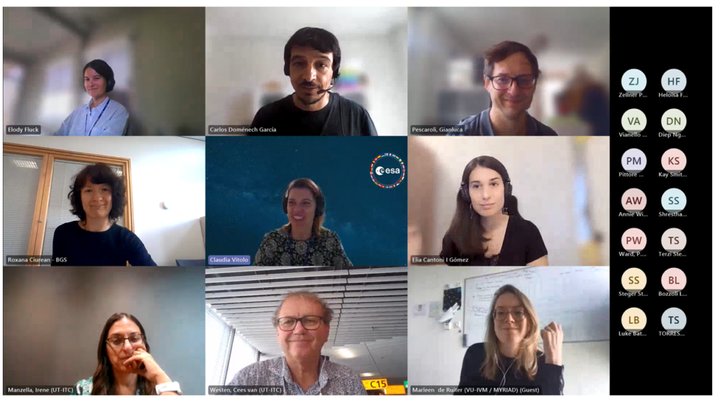
The European Space Agency’s (ESA) EO4MULTIHAZARDS (High-Impact Multi-Hazards Science) initiative, a two-year project taking place as part of the ESA‑EC Earth System Science Initiative, held its kick-off meeting (KOM) on 13 September.
The data provided by Earth observation satellites provide key information that help us grasp our planet’s complexities and monitor the environmental problems and threats it faces. This global vision allows the scientific community to detect signs of change, identify significant trends, and fine-tune models to predict the future. The ability to address and tackle these threats is key to predicting future changes, supporting the development of effective policies, enabling communities to build a more sustainable and resilient future, and managing the associated consequences.
In this context, EO4MULTIHAZARDS seeks to explore the full potential of Earth observation satellite data in order to better describe and understand the factors and complex underlying processes that lead to several high-impact multi-hazards, such as droughts, floods, and landslides. The project will focus on concatenations of events, particularly cascading and compound events, and on improving our ability to assess vulnerability, risks, and the potential impacts of these threats.
EO4MULTIHAZARDS will be carried out by a consortium led by GMV and made up of major European universities, agencies, and research centers such as Eurac Research (Eurac), CMCC (Euro-Mediterranean Center on Climate Change Foundation), UT-ITC (University of Twente’s Faculty of Geo-Information Science and Earth Observation), UCL (University College London), and VU (Vrije Universiteit Amsterdam).
In addition to leading the consortium, GMV will be in charge of providing the project’s modeling teams with satellite data.
